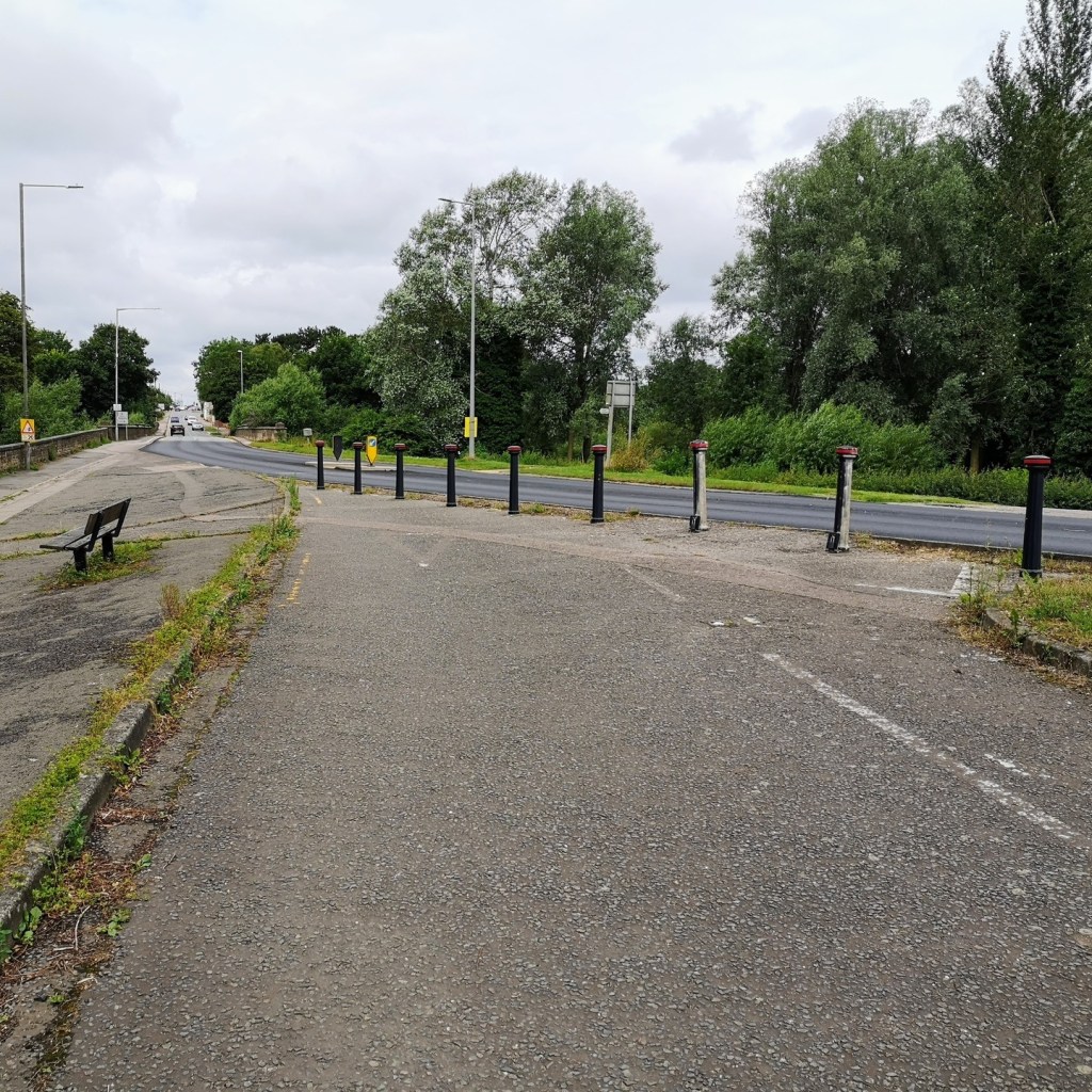
At the very top end of Stony Stratford High Street various eras of road layout are available.
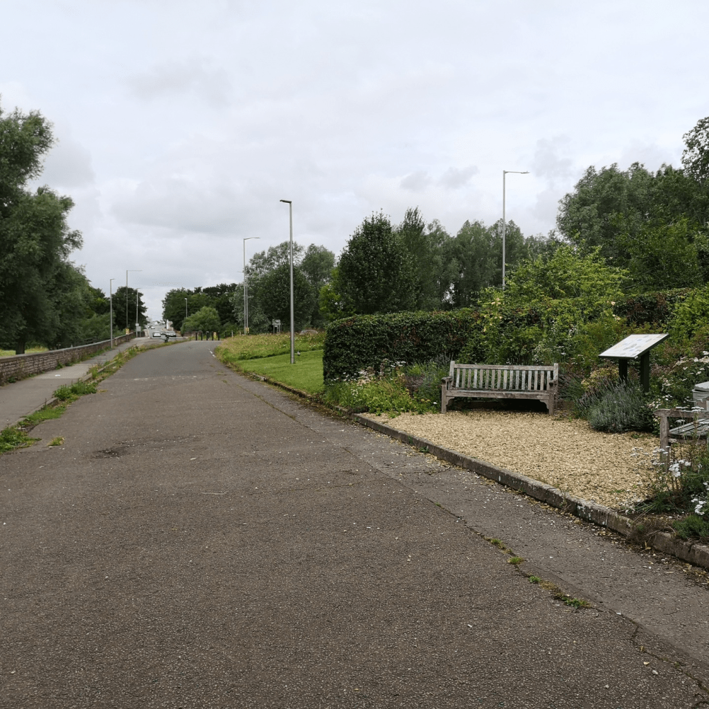
1. The pavement on the far left follows the original road course.
2. When Queen Eleanor Road was built, road realigned and made into a sliproad, with the markings still visible.
3. Bollards were added halfway up and the area used for parking.
4. Most recently, bollards have been added here at the north end!
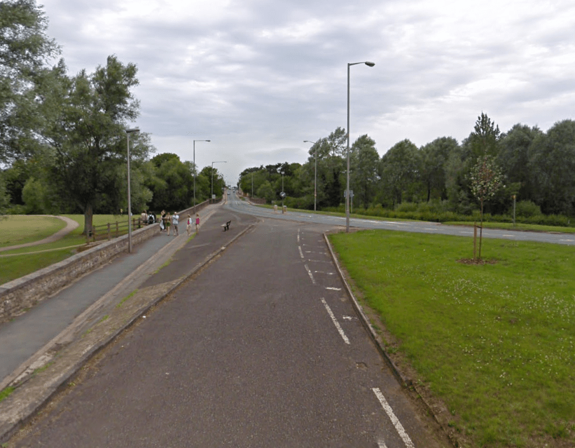
This below Google Street View screengrab shows how it previously looked as a through road without the bollards.
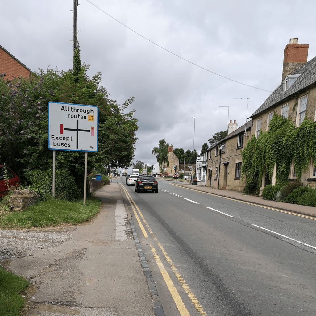
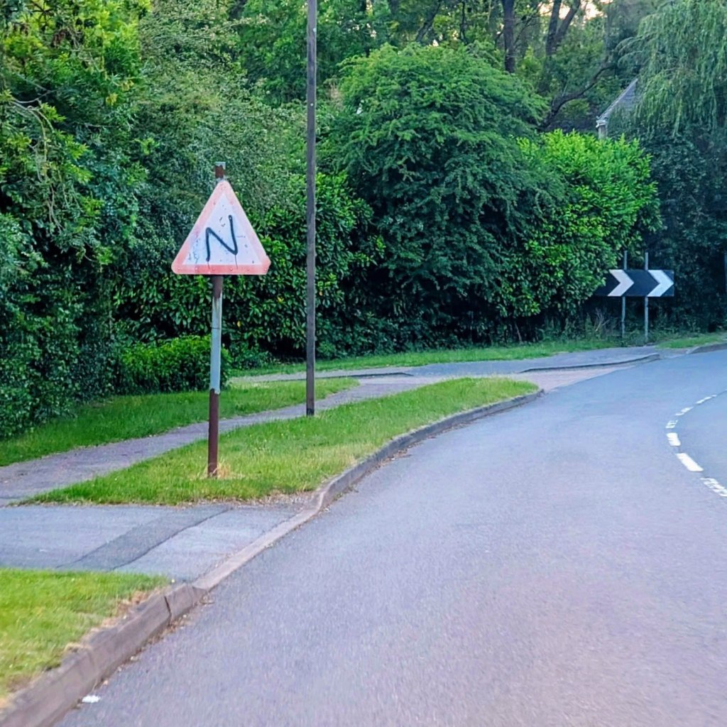
Just over the bridge in Old Stratford (which is in Northamptonshire) a bonus photo of a sign looking decidedly weathered.
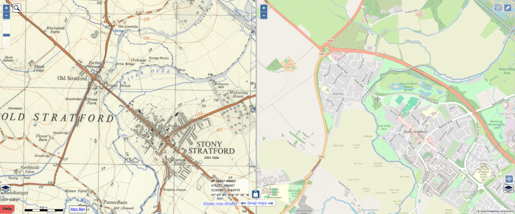
And below is a side-by-side map from before the bypass was even thought about and the road was still part of the A5!

Leave a comment